I finally got out to do some hiking! I decided to hike the Little Devils Stairs Trail and the Piney Branch Trail. The trailhead is off Route 211 near Sperryville. I hadn’t been there in several years. The last time I hiked it was in the winter. I decided to go on a Thursday, to avoid the crowds. That was a great choice. I only saw 3 people on the entire hike.
Little Devils Stairs Trail at the Start

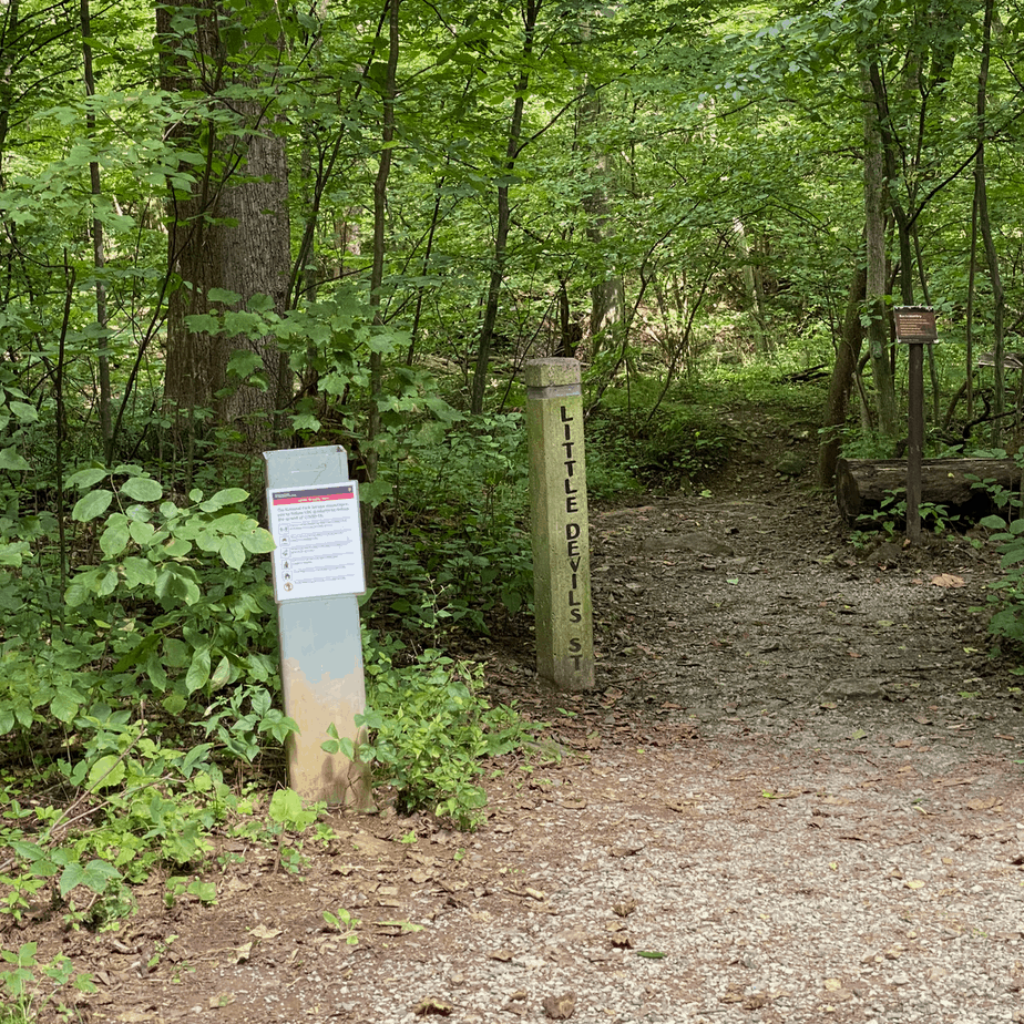
Hiking Up Little Devils Stairs
The Little Devils Stairs Trail is considered a gorge. Most of the hike through the gorge is very rocky. Some of the parts are fairly steep. It doesn’t require any technical climbing skills. However, it could be difficult for someone who never hikes. I hiked it in August after some rainfall. There was just enough water to make it scenic. It could be a little more difficult in the spring. You should be prepared to get your feet wet. Similarly, times of drought could make it easier. The foliage was plentiful. The perspective in my photo doesn’t do the gorge justice.

A Typical Shenandoah National Park Creek: Piney Branch


Piney Branch Trail
Piney Branch Trail is a lovely hike through the woods along the creek. First, the trail slightly descends from its intersection with Keyser Run Road. Then the trail meanders above the creek. Finally, it parallels the creak. Piney Branch Creek is beautiful. It is a typical Shenandoah National Park Creek. I do not want to minimize its appeal. If you haven’t hiked in the Shenandoah National Park, this is a great example of the park. Hike it during the week, and you get major solitude. We actually saw a mother black bear and two cubs.
Two Hiking Options from One Parking Lot
Little Devils Stairs 6 mile loop
The most popular option is probably to hike up Little Devils Stairs Trail and return on Keyser Run Fire Road. You get the fun of hiking up the canyon. The return is down a double track gravel road through the woods. Towards the end, you can explore an old cemetery. Going in along the canyon is uphill, then you are rewarded with downhill most of the way out.
Longer Loop - Adding Piney Branch Trail
This is what I did. This second option Is longer. In my opinion, it is also more scenic. You start by hiking up the canyon. The loop changes when you get to the gravel road. There is a blue blazed trail right off the gravel road. Take that and get going. The trail is mostly flat or downhill. It eventually connects with Piney Branch Creek. After that, it follows the creek for most of the hike. At the end, it is uphill for about .5. Finally, it intersects with Keyser Run Fire Road. You descend about 1.2 miles to the parking lot.
Hiking Upward uses parts of the same topo map for both trails. They walk the Piney Branch Loop in the opposite direction and use Keyser Run Fire Road to enter and exit. That is a lot of gravel road walking! I prefer hiking the second option that I described above. It is easy to figure out. My tracker said it was over 10 miles. It is not always accurate. It could have been 9-11.
References:
There are lots of trail resources on the internet. I used these two links.
https://www.hikingupward.com/SNP/PineyBranch/
https://www.hikingupward.com/SNP/LittleDevilsStairs/
Keyser Run Fire Road
