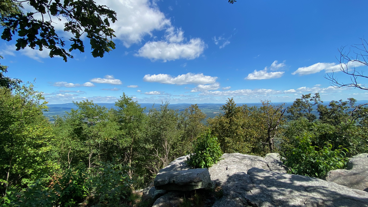
Elizabeth Furnace Recreation Area in Front Royal Virginia is a great place to visit! One reward is the views at Signal Knob. However there is much more. I’ve been going there for years, and it never gets old. You can hike, backpack, camp, fish, or picnic. I usually hike or backpack. Read more to find out about the trails, and which ones might be right for you.
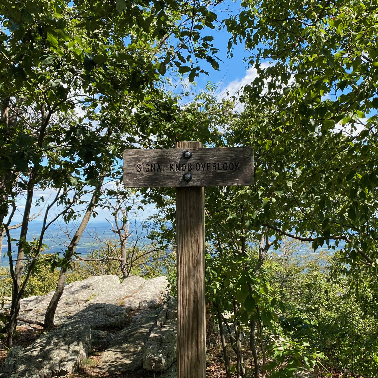
Signal Knob Overlook
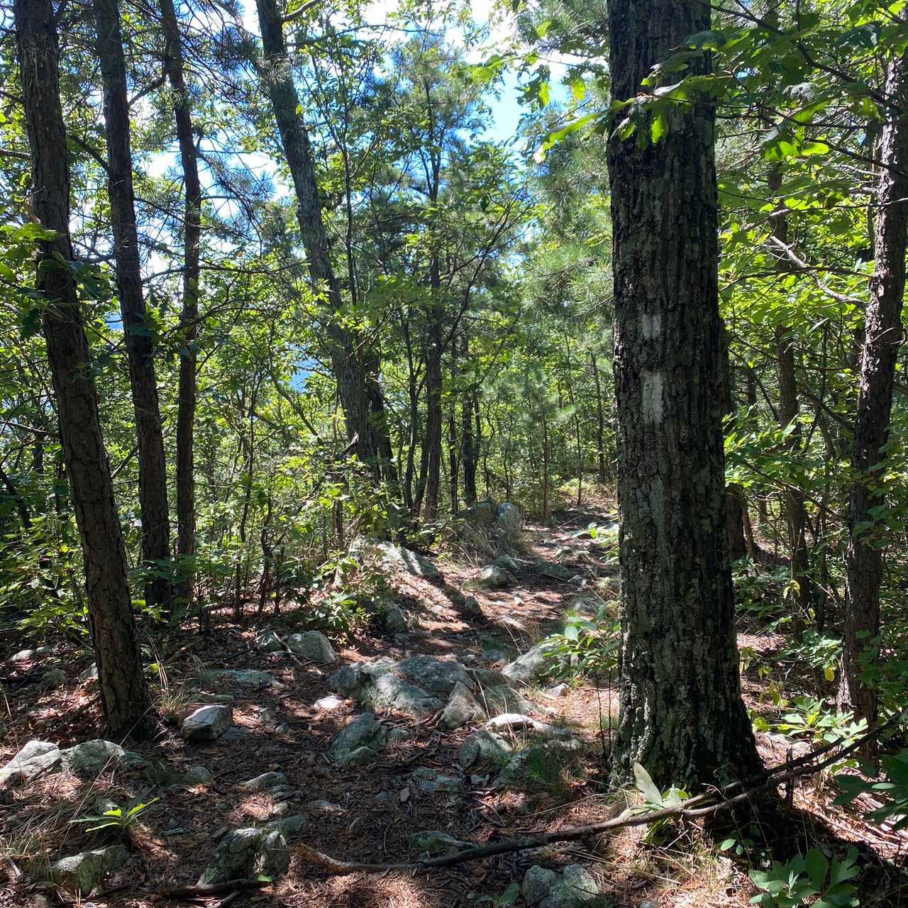
There is a great map of the hiking trails at Elizabeth Furnace Recreation Area. Hiking to Signal Knob is probably the most common hike. People usually park at the Signal Knob parking lot. It accommodates a lot of cars. Do not let the number of cars deter you from hiking. The area is large and rarely seems crowded. You can hike from the parking lot to the knob and do an out and back via the orange trail. There are also several options for hiking a loop. The trail to Signal Knob is rocky. It also crosses several old rockslides. Although totally doable, it could be difficult for someone who isn’t used to hiking on rocks for most of 4.5 miles or so to the top.
Long Loop
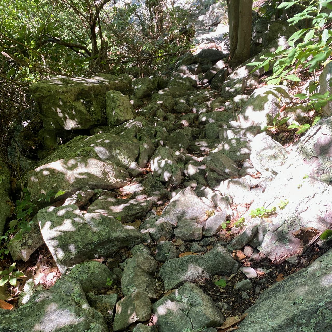
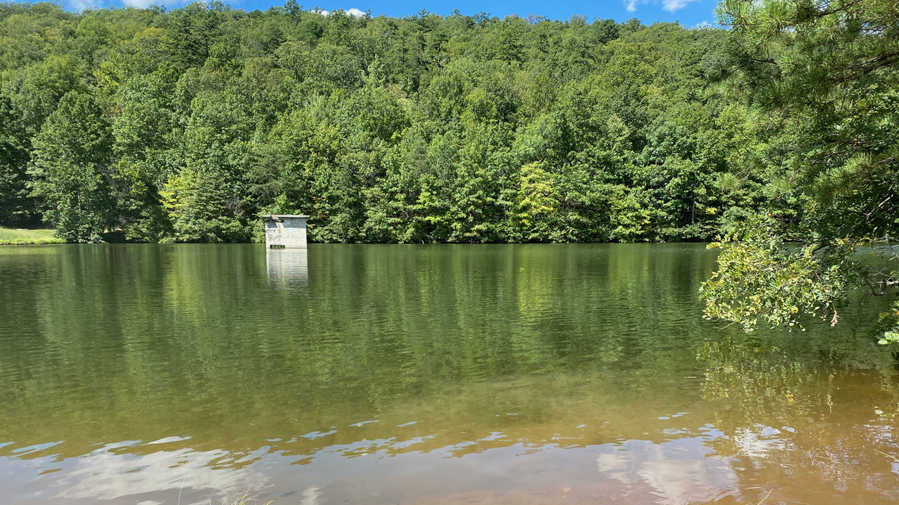
From Signal Knob, you can continue on the orange trail to the Reservoir. It is a lovely place to eat lunch or camp. Although there were almost no parking spaces last week when I started hiking, there were only 2 other people at the reservoir. The hike from the knob to the reservoir is a rocky steep decent on an old fire road. If you continue on the orange trail you can make a long loop via the purple Mudhole gap trail, and back to the car. The photo shows the orange trail terrain from the reservoir to the Mudhole Gap Trail. This loop is about 15 or so miles depending on what tracker you use.
Difficult Down and Ups Loop
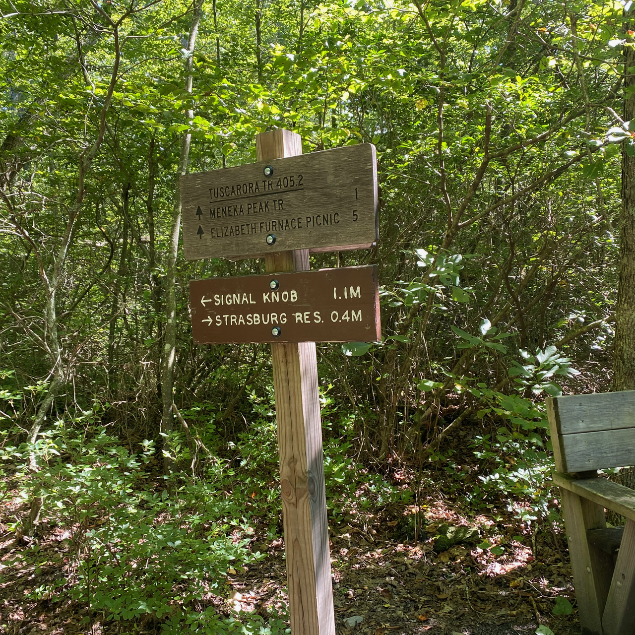
Another option at Elizabeth Furnace Recreation Area from Signal Knob is to hike to the reservoir. Then, retrace your steps back up the orange trail until it intersects the Blue Tuscarora trail on the right side. Hike up the Blue Tuscarora Trail to Meneka Peak. This option adds the long decent down the fire road, and the long ascent up to Meneka Peak. Finally, most of the rest is downhill. It is the same trail as described in the next option.
Shorter Loop
From the top, retrace your steps to the Meneka Peak trail. This short trail connects to the Blue Tuscarora Trail. When the trails intersect, turn left to traverse down the mountain and eventually back to the parking lot. This trail is less rocky than the orange trail. The rocks are smaller and there is more loose scree. This option makes a nice 10-11 mile loop. It is good because at the end, the trail is fairly level and a little less difficult to traverse.
Mudhole Gap Out and Back
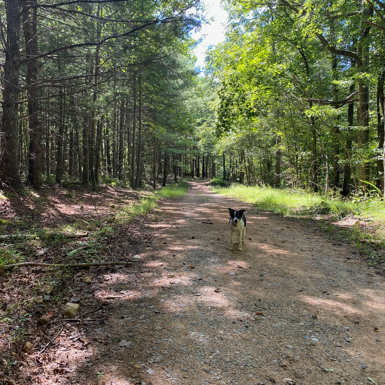
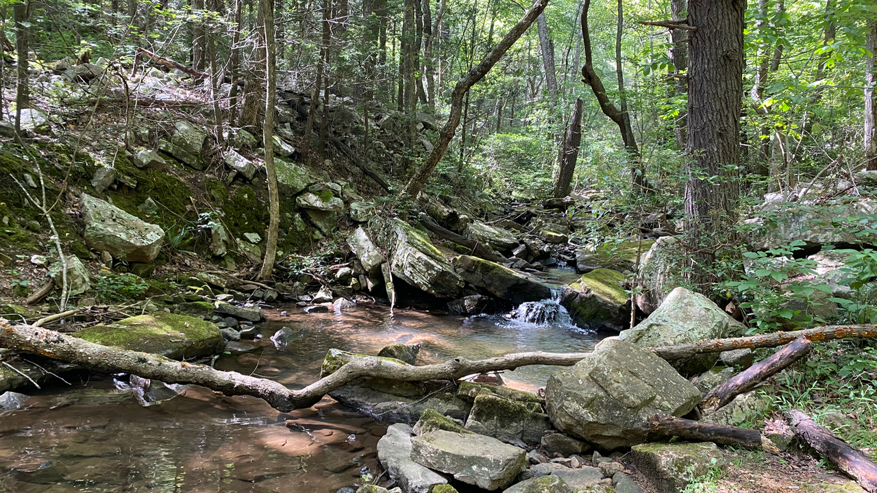
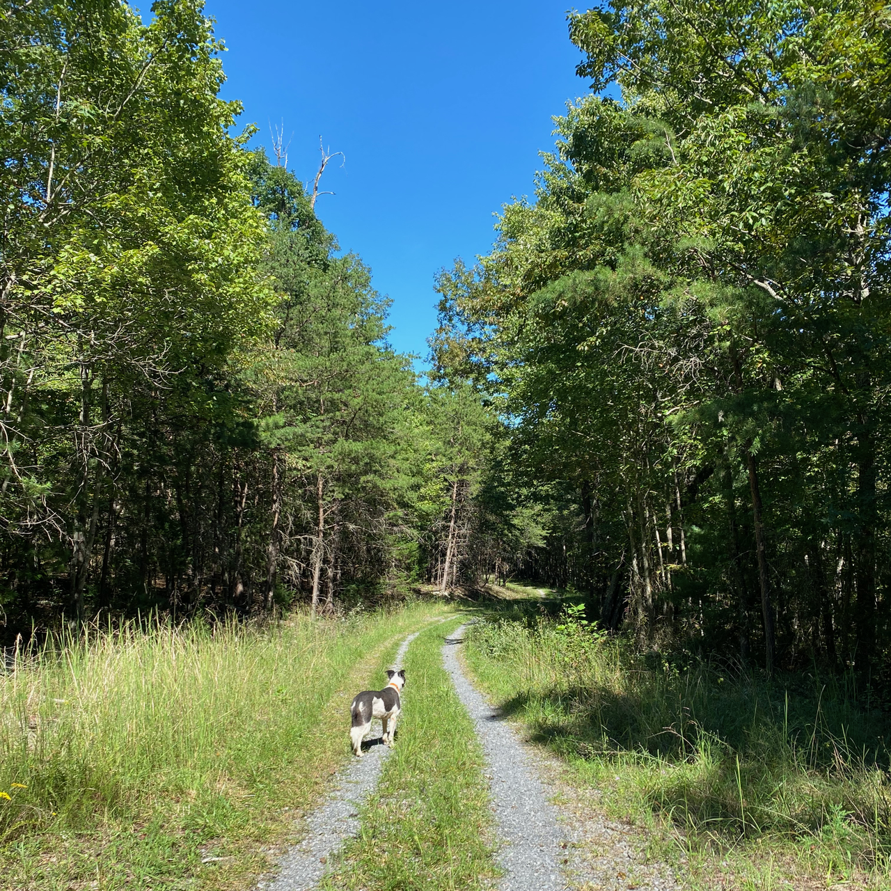
If you want a nice leisurely hike, this is the one for you. First, park at the Mudhole Gap Parking lot. You should try to get there early, because there are only a few parking spaces. Next, follow the Mudhole Gap trail for about 3 miles until it ducks into the woods. Hike the length of the creek and enjoy its beauty. Find a quiet place along the creek for a snack or lunch. Finally, retrace your steps back to the car. This is about a 7 or so mile round trip. Do not let the look of the trail shown to the right fool you. It has quite a bit of elevation change, however most of the footing is easy to traverse. P.S. If you like creeks like I do, check out the Little Devils Stairs hike too.
